Southwest Ride 2019 - Route - Day 2
It seems I picked the hotel with the least comfortable bed in Amarillo. I woke up feeling like I only got a few hours of sleep. Using the OEM seat on my FJR probably is not helping but, I'll be fine after a couple of days. I put down a cup of in room coffee, some orange juice and a cliff bar and headed out to my bike. It was a nice easy ride through town and on then towards Raton, New Mexico.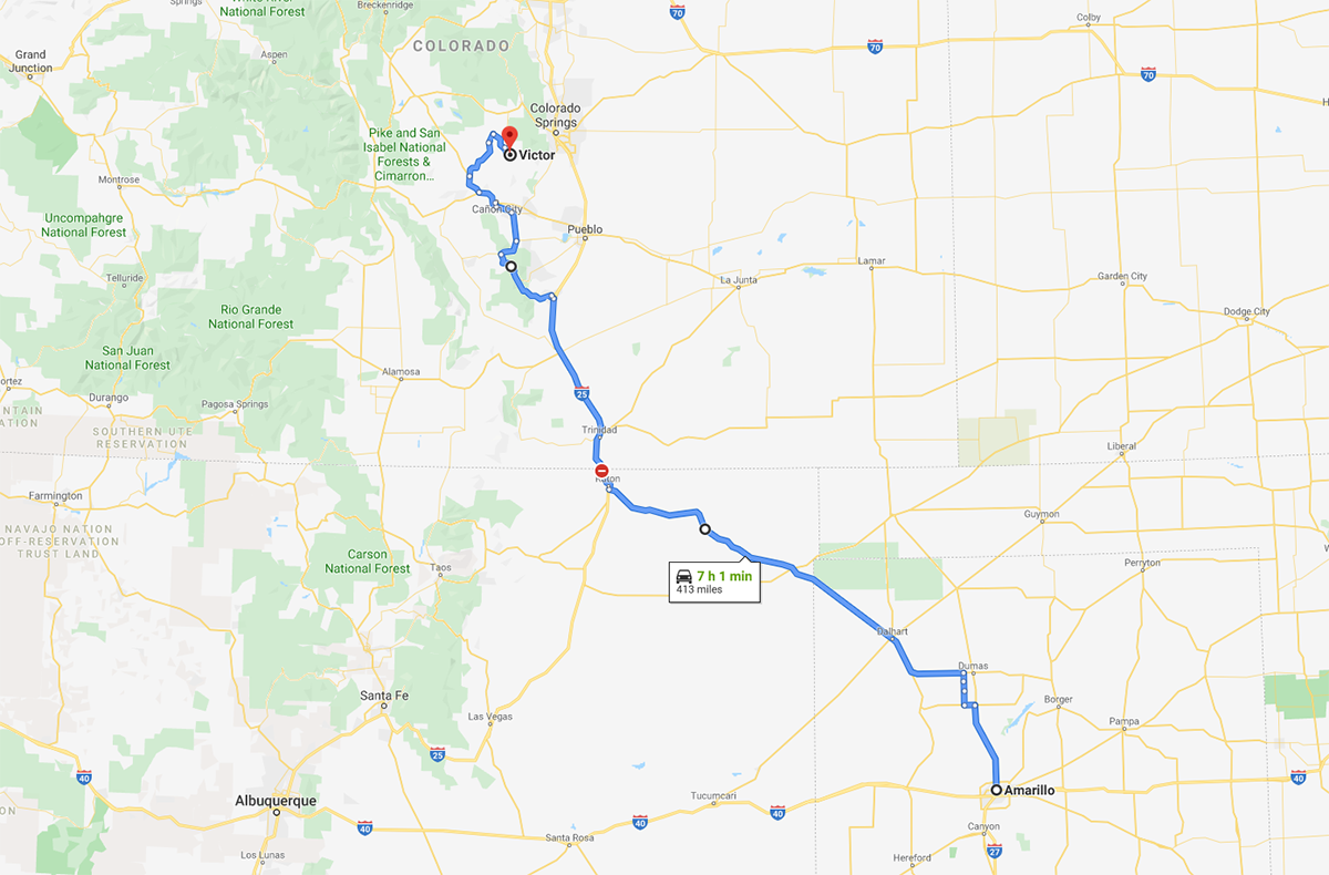
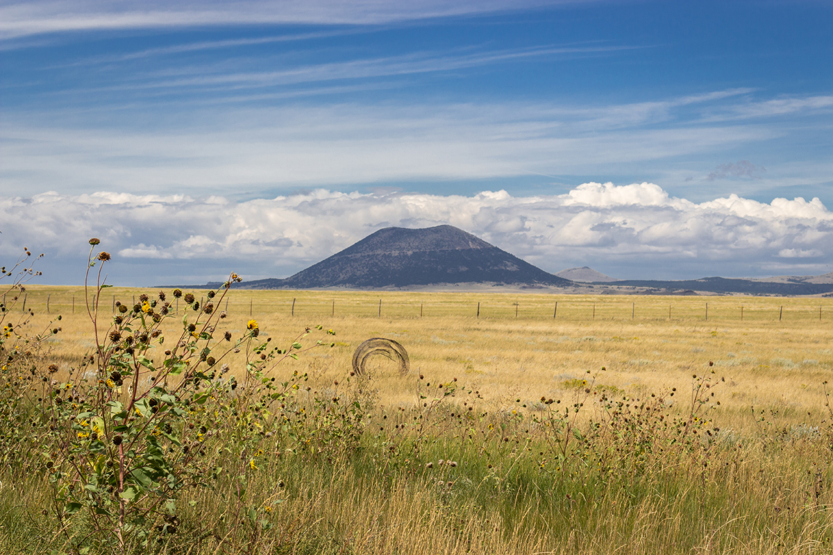
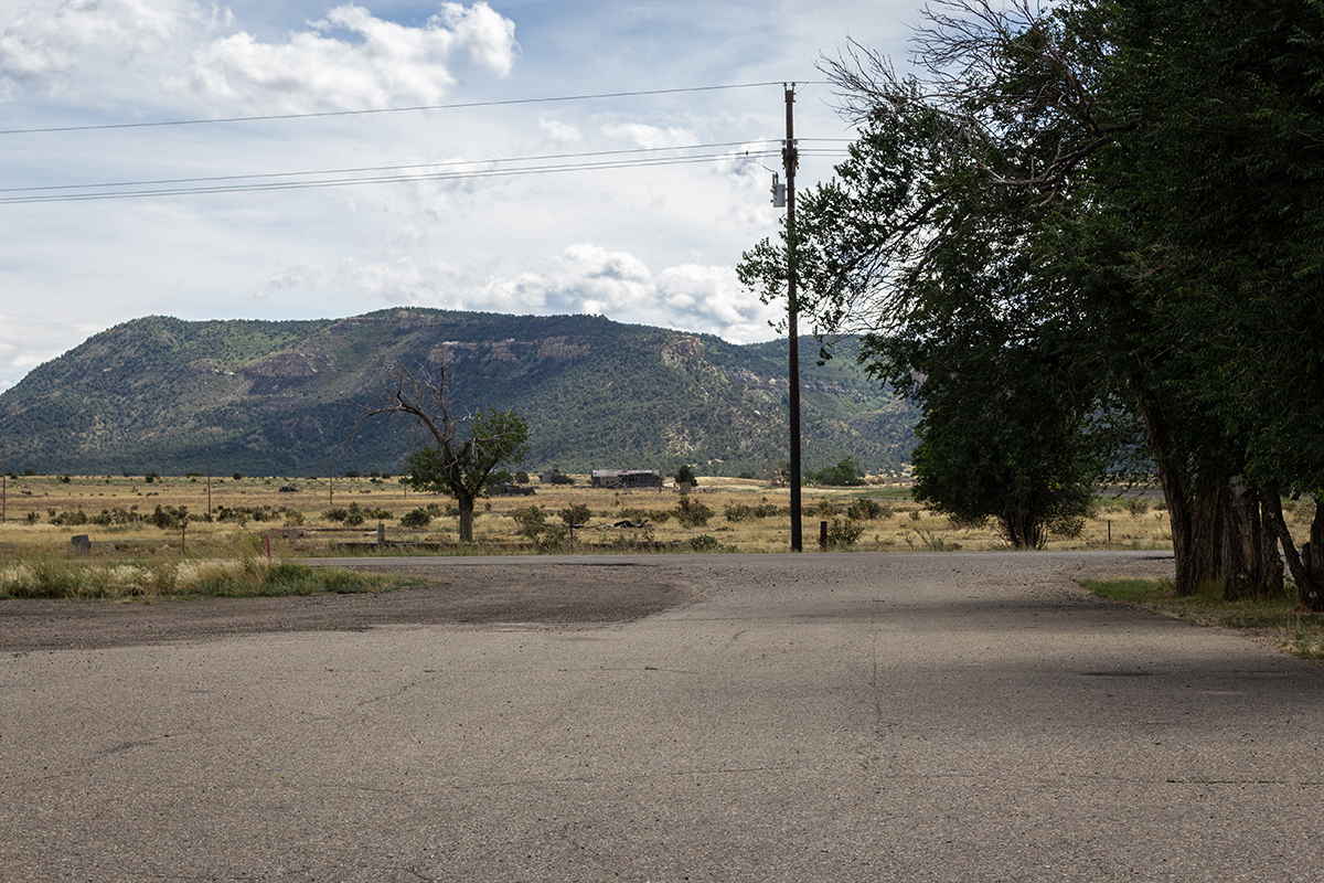
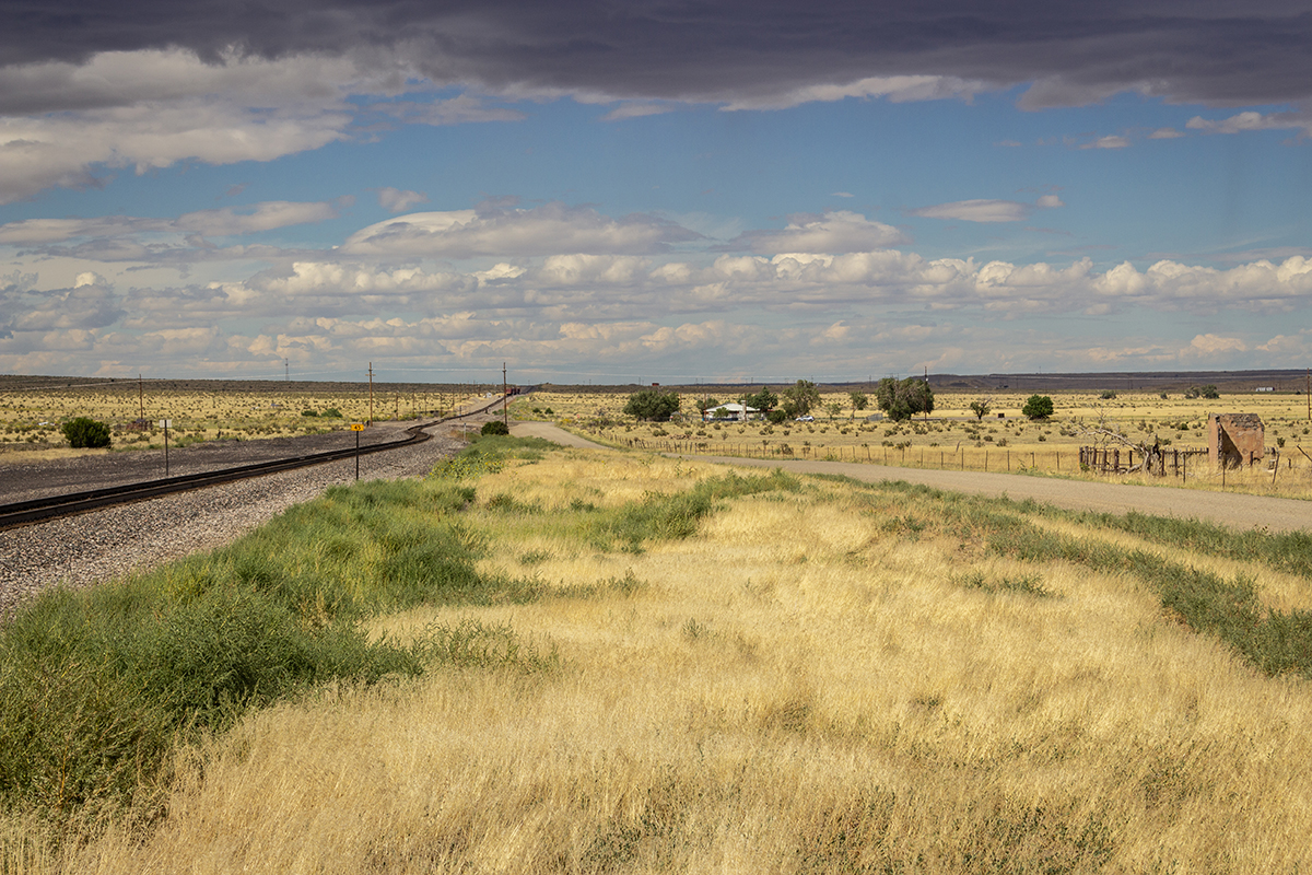
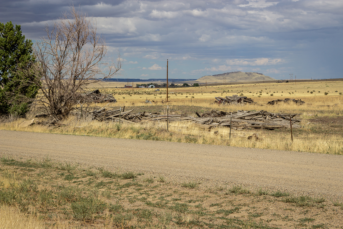
It did not take me to long to get to Texline and then Clayton. Although I knew next to nothing about Black Jack Ketchum, I did know he was hanged and buried in the city cemetary. Little did I know that trying to find a grave is like a scavenger hunt. I looked online and found coordinates, but could not find his grave despite s pending an hour there and riding down every vehicular path. Disgusted and knowing I had another ~300 miles to go, I gave up and rode out of Clayton. Not too terribly far down the road, I stopped for a quick break. This spot just happened to be right on top of the Santa Fe trail. In the middle of no where again where I love it. I took a few photos hoping to capture the remoteness.
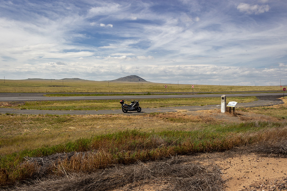
That is round mound in the background. It was one of several landmarks in the area that wagon trains, stage coaches and individuals used to navigate the Santa Fe Trail.

1822 makes this one of the oldest trails in the country. As with most of the trails, there are probably numerous unmarked graves in the area. Tough people used to live and
make their way through here. Bison by the millions used to wander these grasslands. I stand here for a while and consider these facts. My ease of transportation is not lost
upon me. Thoughts of just how difficult it must have been to travel by foot, horse or wagon flood my mind.
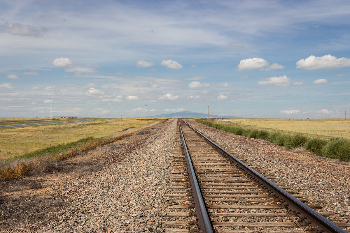
I thoroughly enjoy the vast empty spaces out west. The only opinions I hear are my own, in my head. Distractions are almost negligable and I can once again focus on just me. It
is a real shame most people underestimate the value of "disconnection". There is nothing more cleansing and rejuvinating than nature. But moving on. I finally got back on my bike
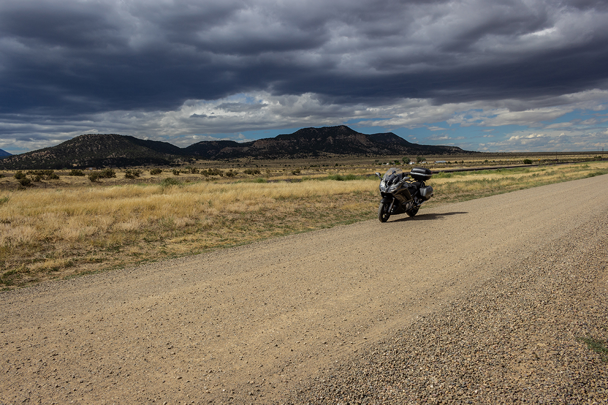
and continued to head towards Raton. Shortly before arriving there one finds an extinct volcano "Sierra Grande" to the right. As a 4th grader, I walked around the inside of the crater.
A friend of mine and I had ridden by here just a couple of months ago but did not stop. This time I decided to. The exposed vulcanism is very cool and spreads out for miles
in numerous directions. After about a 5 mile ride, I rode up to the park office and immediately saw a sign that said volcano road closed due to washout. I decided to walk in and ask anyway,
but was reassured by the ranger the crater is out of business unless I wanted to hike up there. No thank you. There were signs pointing to Folsom, New Mexico which was just a few miles
down the road. I knew that Elzy Lay, one of Butch's best friends tried to rob a train in the area and was caught after a sheriff was killed. However, I still had some miles to ride
and the thought of riding in the dark up to 10,000 feet is not appealing, so I skipped Folsom this time. I have to save some things for the next time.

"Sierra Grande - Largest extinct volcano in northeastern New Mexico. Sierra Grande rises to an elevation of 8,720 feet, one of many volcanoes, cinder cones, and flows that cover more than
1000 square miles of area in northeastern New Mexico and southeastern Colorado eastward to the Oklahoma state line."
A sunflower plant, roll of barbed wire and two extinct volcanoes make for an interesting photograph.
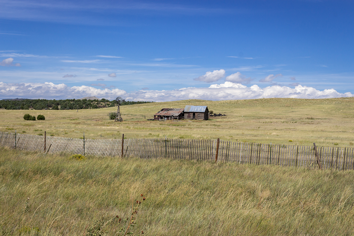
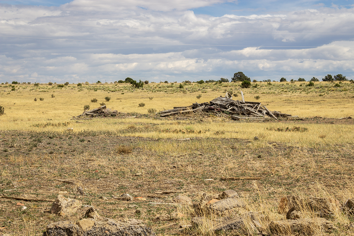
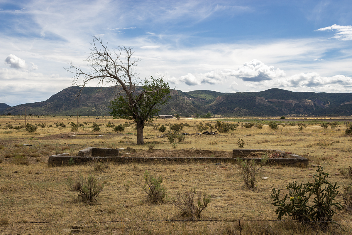
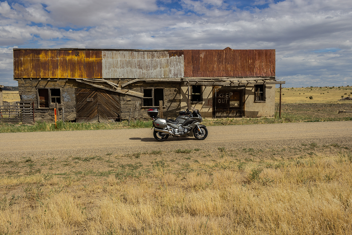
On the opposite side of the highway is what appears to be an old 19th century homestead of some kind. The building on the right definitely is. Prior to making this ride, I bought a copy of
"The Outlaw Trail" by Robert Redford. in there, he mentioned that our history was disappearing and for the most part, our elected officials did not seem to care. What I happen to be getting at
is 45 years later, there are even fewer remaining structures from the 19th and early 20th centuries. Most are gone without a trace. Some are only foundations. Others are piles of collapsed wood while
some are still holding on for dear life. So, I decided to photograph these as convienently as I could. I am not sure how old the house on the left is, but the building on the right looks traditional
mid to late 19th century. I was not quite sure where I was going to stop for the night so I decided to get moving after being stuffed at the park office. Eventually, I made my way into Raton and then
into Colorado. Not too far from my next stop, I pulled over for gas and noticed a funny sight on the other side of the parking lot.
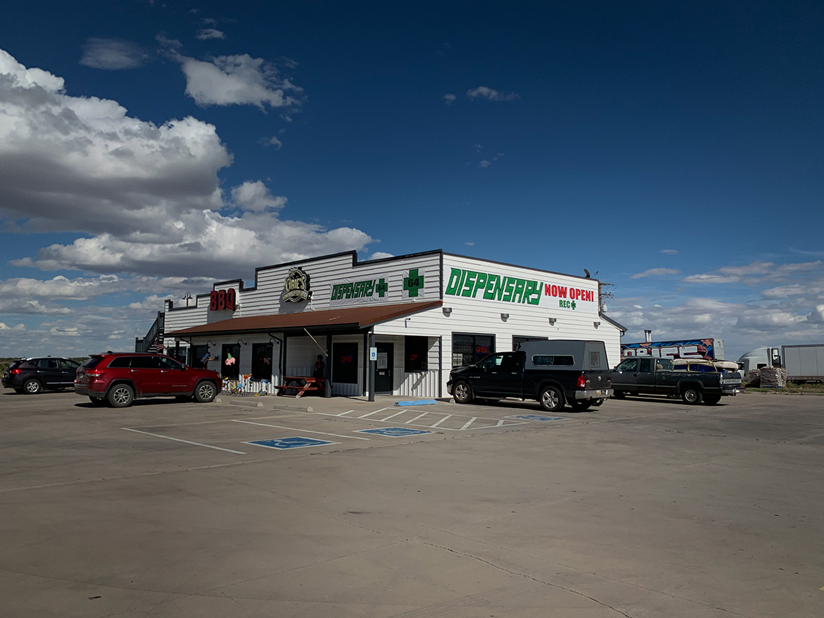
Yes, that is a cannabis dispensary and BBQ joint. What a great idea. Of course, I had some BBQ. But, I had to keep on getting on, so I continued to head up I-27 until I saw the Ludlow Massacre sign.
A friend and I had passed by here just a couple of months earlier. I remember seeing the sign and wondering what it was. Those words are usually code for some kind of altercation between immigrants
and Indians. I could not have been more mistaken.
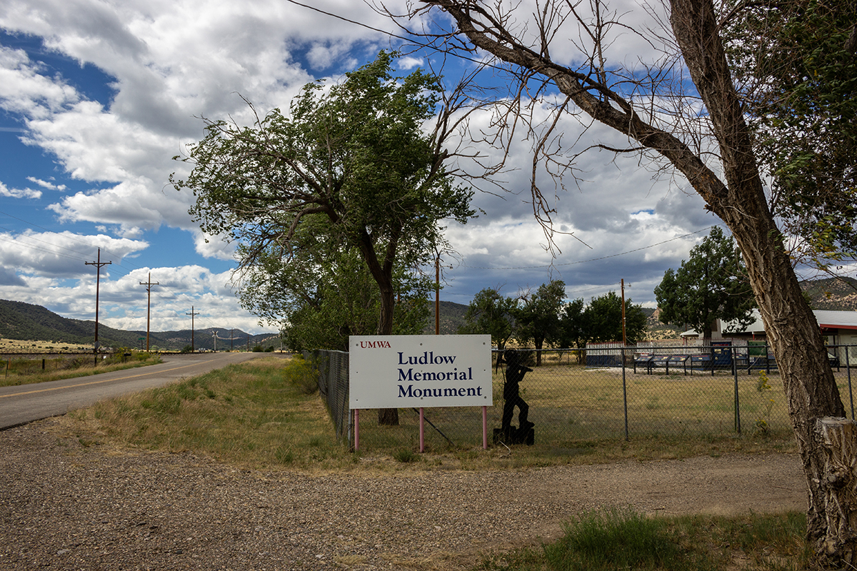
United Miners Workers of America Ludlow Memorial - Ludlow Colorado
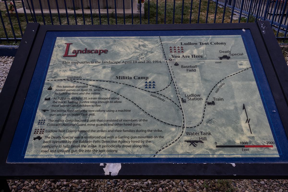 There were many signs describing the story. This one gives a pretty good idea what the striking miners and their families were dealing with.
Wikipedia description of the Ludlow massacre. https://en.wikipedia.org/wiki/Ludlow_Massacre
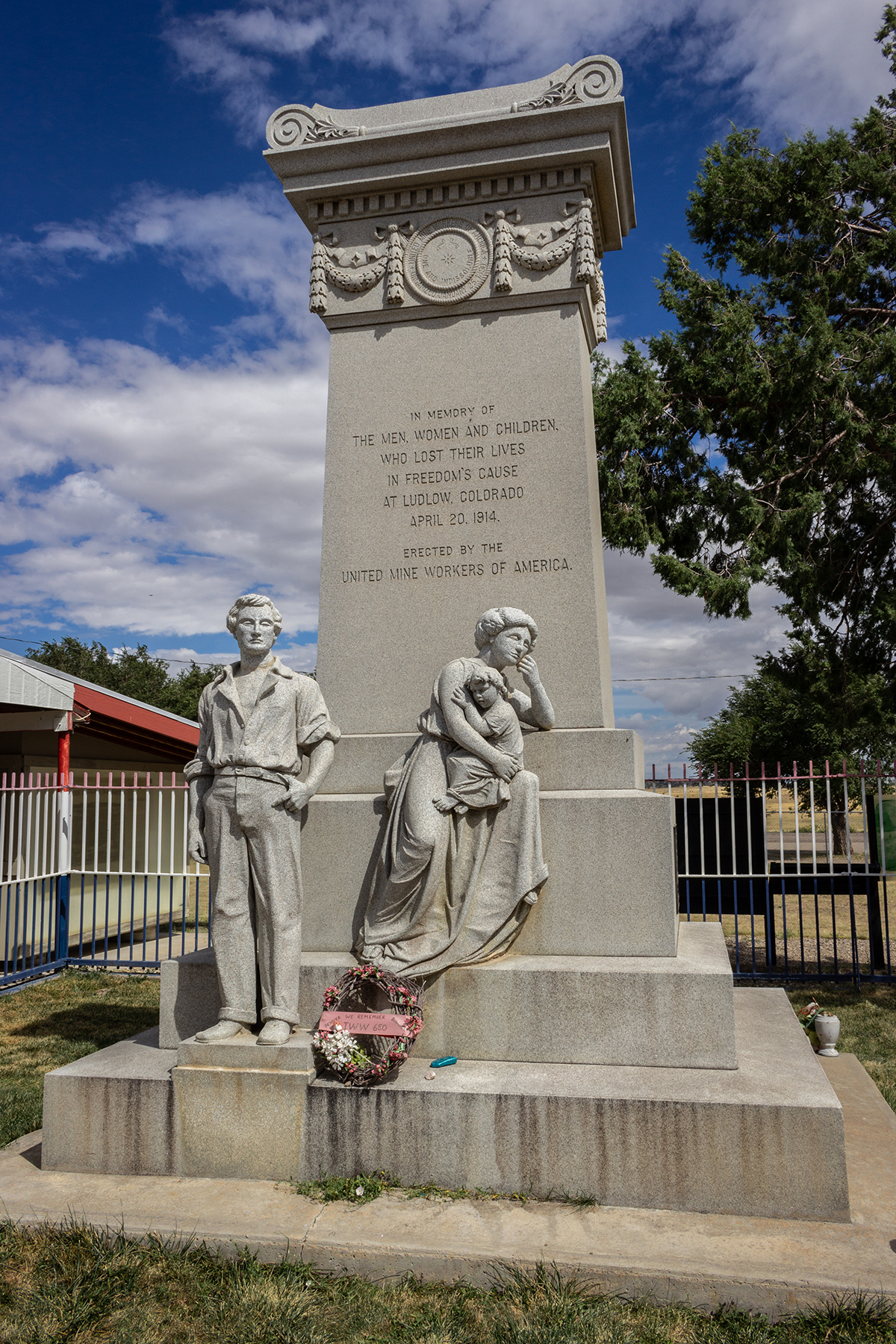
Ludlow Memorial
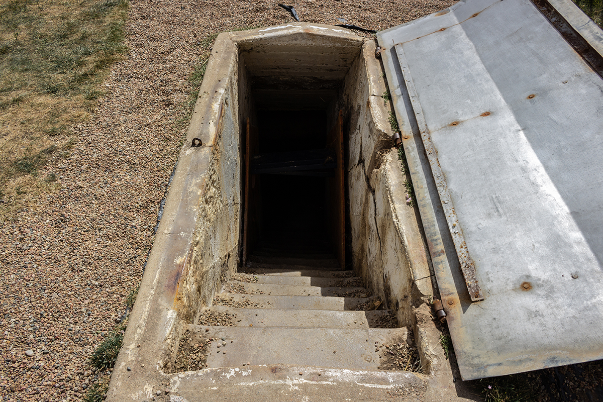
This is the cellar under a tent that was firebombed by the national guard and private detective agencies. It is the cellar where over 10 men, women and children
were killed by the fire.
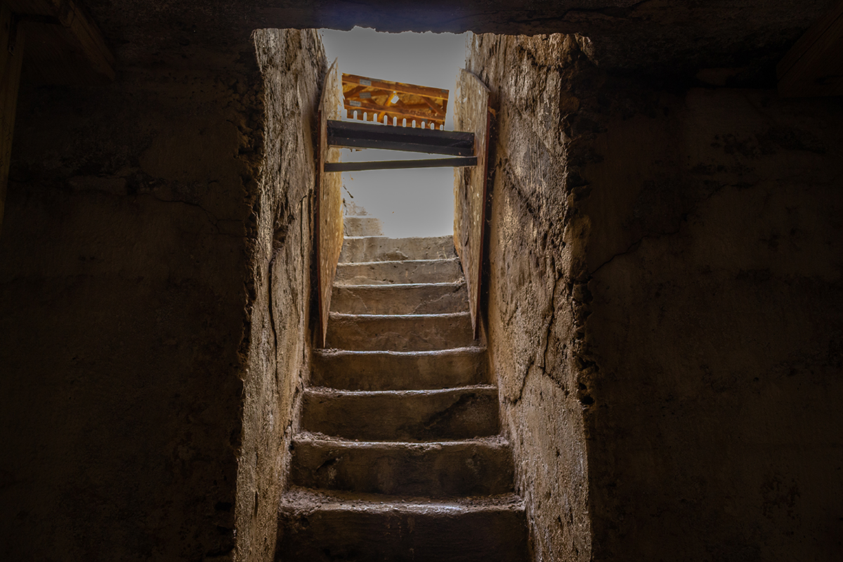
In the cellar looking back up.
Looking towards Water Tank hill from the memorial site.
Looking towards the memorial site from Water Tank hill.
One of many collapsed structures.
Foundations near the ballfield area
More collapsed structures
My FJR in front of what I think remains of Ludlow station. I spent about an hour hanging around, reading the history and taking photographs. This would be a great little
place to be hanging out if this was not quite literally a ghost town. However, being a history lover, I just stood around and tried to imagine what it was like back then.
I have to admit, it was a little spooky out there. This feeling would set the tone for the rest of the day and evening. Finally, I got back on my bike and headed towards
Canon City the back way through the mountains. It was great to be in winding elevation again even though I rode this exact stretch in July, but it was still better than
the last 600 miles. Once in Canon City, I decided it was still too early to stop so I continued heading up in elevation. I decided that I would try and stay in Victor at
the haunted Victor hotel, but it was starting to rain and get cooler as I headed up to 10,000 feet. About half way up, it was already in the high 40s, I pulled over and put my electric
jacket liner on and continued up the mountain. Cripple Creek looked interesting, but I had always heard Victor was the place to stay so I kept on heading up. Fortunately,
Victor is only 5 miles further. But, a deer ran across the road about 100 feet in front of me and then its buddy ran right in front of me. If I had not slowed down for the
first one, I most certainly would have hit the second one. I was already close enough to touch it as it was. Crap, did not need that. I slowed down and made my way past the
the massive gold mine and on into Victor.
Day 2 - Victor Hotel